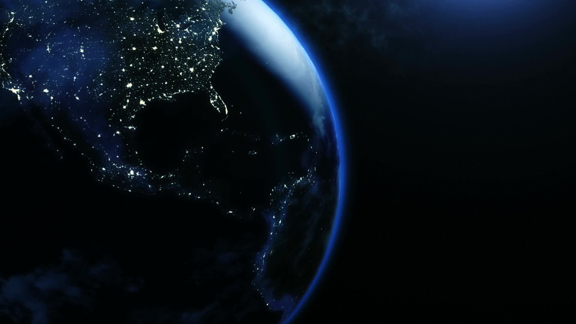
Digital Twin: Replicating the Earth system
Imagine having a global toolbox to explore the local response of the Earth system to extreme weather and climate adaptation scenarios. This is what a digital twin, in this case a replica of the Earth system, could provide. We bring you up to date in six questions.
How can a digital twin contribute to the ambitions of the Green Deal and the Digital strategy of the EU?
The European Commission Destination Earth initiative was launched to develop a digital twin of the Earth. The initiative will be implemented by ECMWF, ESA and EUMETSAT in close collaboration with the European partners in the field. The overall aim is to monitor, explain and predict change – providing quantitative scenarios for guiding efficient policy-making in the context of the European Green Deal. Decision makers benefit because the system allows users to explore the consequences of different strategies for tackling climate change and to respond to extreme weather events by testing a range of scenarios and mitigation strategies.
What will the digital twin consist of, and how is it different from earlier models?
A digital twin is a computer replica. In Destination Earth, it will integrate existing building blocks such as satellite observations, data assimilation frameworks and Earth-system models. It provides an unparalleled breakthrough in information completeness and quality by (i) creating a system capable of solving much larger problems with fully interactive workflows, (ii) incorporating human systems and behaviours, (iii) enhancing digital agility to benefit optimally from the latest advances in information theory and digital technology. The ambition is to provide a kilometre-scale global toolbox for exploring the local response of the earth system to extreme weather and climate adaptation scenarios as a complement to other, mature systems.
Knowledge domain
Digital Twins is an important knowledge domain for Deltares, in which we perform simulations with computers to predict how water and soil behave, for example when there is interaction with the climate, people and infrastructure. End users can use these replicas of reality to take better and faster decisions. We collaborate closely in this field with experts from a range of disciplines, from natural sciences to information technology. At present, for example, we are working on the construction of digital twins of the subsurface to control salt intrusion in the estuary.
What role did data and our understanding of the natural system play in the development of the digital twin?
The aim of the Destination Earth initiative, which is an essential part of the European strategy for data and part of the Digital Europe programme, is to establish a highly precise digital model of the Earth by integrating a range of digital twins. Data and knowledge about the natural system knowledge will also be important in the development of the digital twin because they help us to constrain or refine the possible scenarios and outcomes of our predictions. In addition, all the data and products generated by the digital twin will be made available to the community for further downstream applications, sharing knowledge effectively and filling gaps across the world where no observational data is available.
How will the digital twins have developed in ten years' time?
Initially, the focus in Destination Earth will be on two digital twins: one for weather-induced and geophysical extremes and one for climate change adaptation. More digital twins will be added later, possibly focusing on biodiversity or geophysical hazards (such as earthquakes). By the end of the programme, these different digital twins will be merged to form a replica of the Earth system.
What role does Deltares play in this field?
Water is a key part of the modelling for the Earth system and for climate predictions. Deltares has substantial experience in this field and it can contribute to answering and addressing these research questions, not only on the national scale but also on the European scale, for example in the context of Horizon Europe projects or similar initiatives.
Contact person

Fedor Baart
Modelling expert
Next article:
Extreme precision during construction of coarse sand barrier
Digital Twin
useful replica of the Earth system
Imagine having a global toolbox to explore the local response of the Earth system to extreme weather and climate adaptation scenarios. This is what a digital twin, in this case a replica of the Earth system, could provide. We bring you up to date in six questions.
How can a digital twin contribute to the ambitions of the Green Deal and the Digital strategy of the EU?
The European Commission Destination Earth initiative was launched to develop a digital twin of the Earth. The initiative will be implemented by ECMWF, ESA and EUMETSAT in close collaboration with the European partners in the field. The overall aim is to monitor, explain and predict change – providing quantitative scenarios for guiding efficient policy-making in the context of the European Green Deal. Decision makers benefit because the system allows users to explore the consequences of different strategies for tackling climate change and to respond to extreme weather events by testing a range of scenarios and mitigation strategies.
What will the digital twin consist of, and how is it different from earlier models?
A digital twin is a computer replica. In Destination Earth, it will integrate existing building blocks such as satellite observations, data assimilation frameworks and Earth-system models. It provides an unparalleled breakthrough in information completeness and quality by (i) creating a system capable of solving much larger problems with fully interactive workflows, (ii) incorporating human systems and behaviours, (iii) enhancing digital agility to benefit optimally from the latest advances in information theory and digital technology. The ambition is to provide a kilometre-scale global toolbox for exploring the local response of the earth system to extreme weather and climate adaptation scenarios as a complement to other, mature systems.
Knowledge domain
Digital Twins is an important knowledge domain for Deltares, in which we perform simulations with computers to predict how water and soil behave, for example when there is interaction with the climate, people and infrastructure. End users can use these replicas of reality to take better and faster decisions. We collaborate closely in this field with experts from a range of disciplines, from natural sciences to information technology. At present, for example, we are working on the construction of digital twins of the subsurface to control salt intrusion in the estuary.
What role did data and our understanding of the natural system play in the development of the digital twin?
The aim of the Destination Earth initiative, which is an essential part of the European strategy for data and part of the Digital Europe programme, is to establish a highly precise digital model of the Earth by integrating a range of digital twins. Data and knowledge about the natural system knowledge will also be important in the development of the digital twin because they help us to constrain or refine the possible scenarios and outcomes of our predictions. In addition, all the data and products generated by the digital twin will be made available to the community for further downstream applications, sharing knowledge effectively and filling gaps across the world where no observational data is available.
How will the digital twins have developed in ten years' time?
Initially, the focus in Destination Earth will be on two digital twins: one for weather-induced and geophysical extremes and one for climate change adaptation. More digital twins will be added later, possibly focusing on biodiversity or geophysical hazards (such as earthquakes). By the end of the programme, these different digital twins will be merged to form a replica of the Earth system.
What role does Deltares play in this field?
Water is a key part of the modelling for the Earth system and for climate predictions. Deltares has substantial experience in this field and it can contribute to answering and addressing these research questions, not only on the national scale but also on the European scale, for example in the context of Horizon Europe projects or similar initiatives.
Contact person
Fedor Baart
Modelling expert
Next article
Extreme precision during construction of coarse sand barrier

