Estimating flood impacts

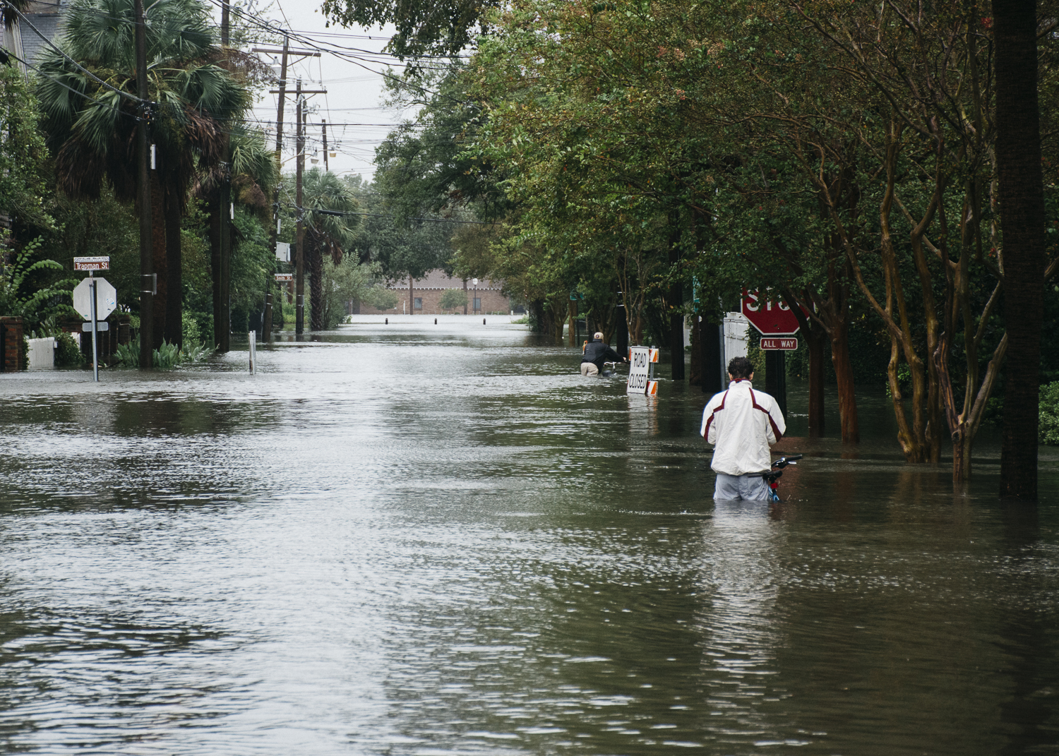
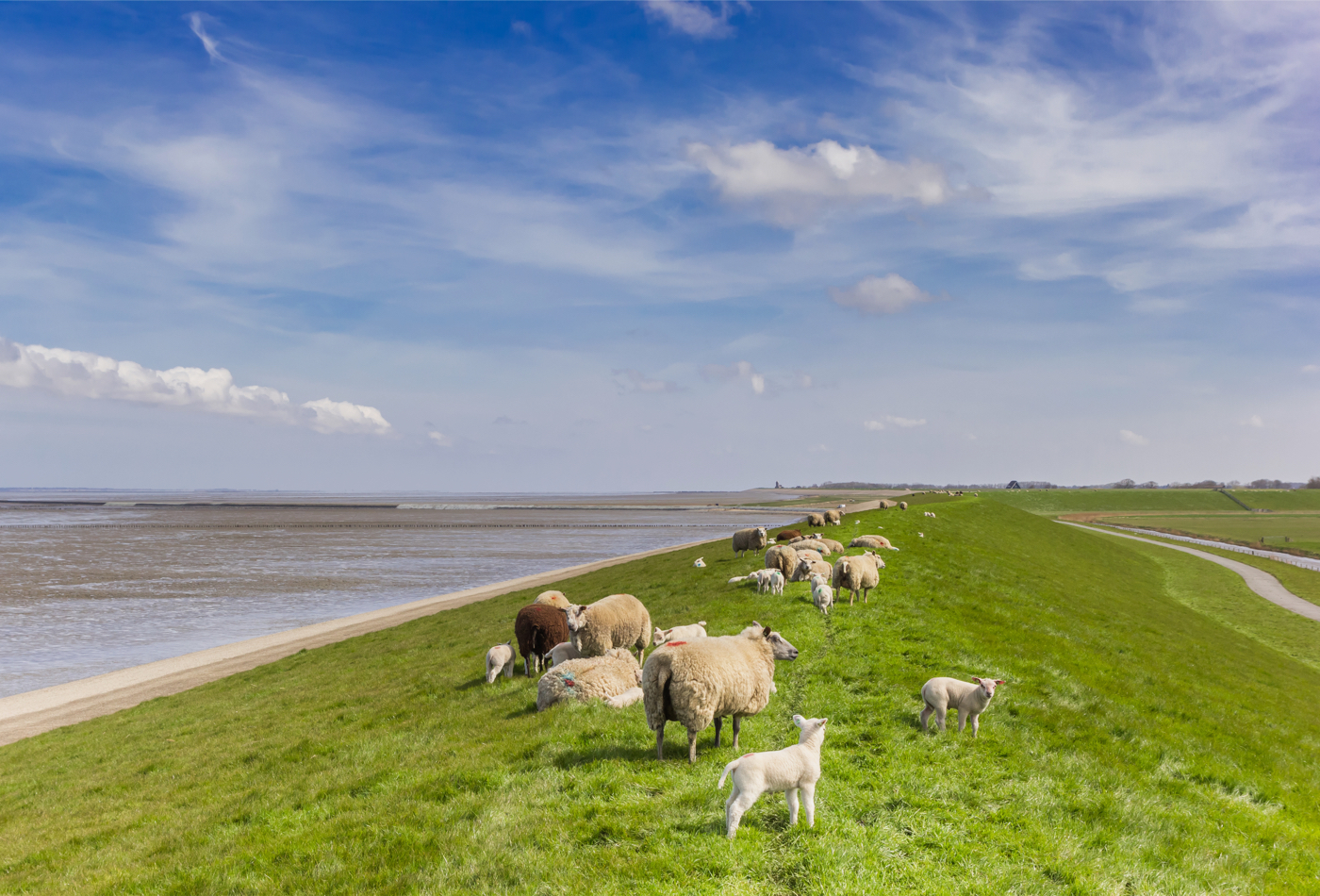
Climate change phenomena like El Niño and La Niña, and related recent extreme weather events across the world, have shown how people and property around the world are vulnerable to flooding. To better protect and warn people for disastrous impacts, we need the capability to compute the onset, duration and extent of floods due to surges, waves, river discharges and rain. This work needs to be done for large areas an in short time. We developed a fast flooding model – SFINCS (Super-Fast INundation of CoastS) – and made it openly available. The software is now used by universities and organisations all around the world, from Australia to Europe and the USA.
Fast flood forecasting on large scales
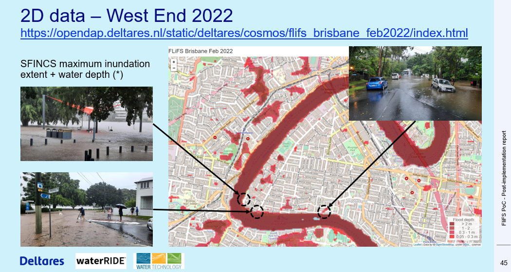
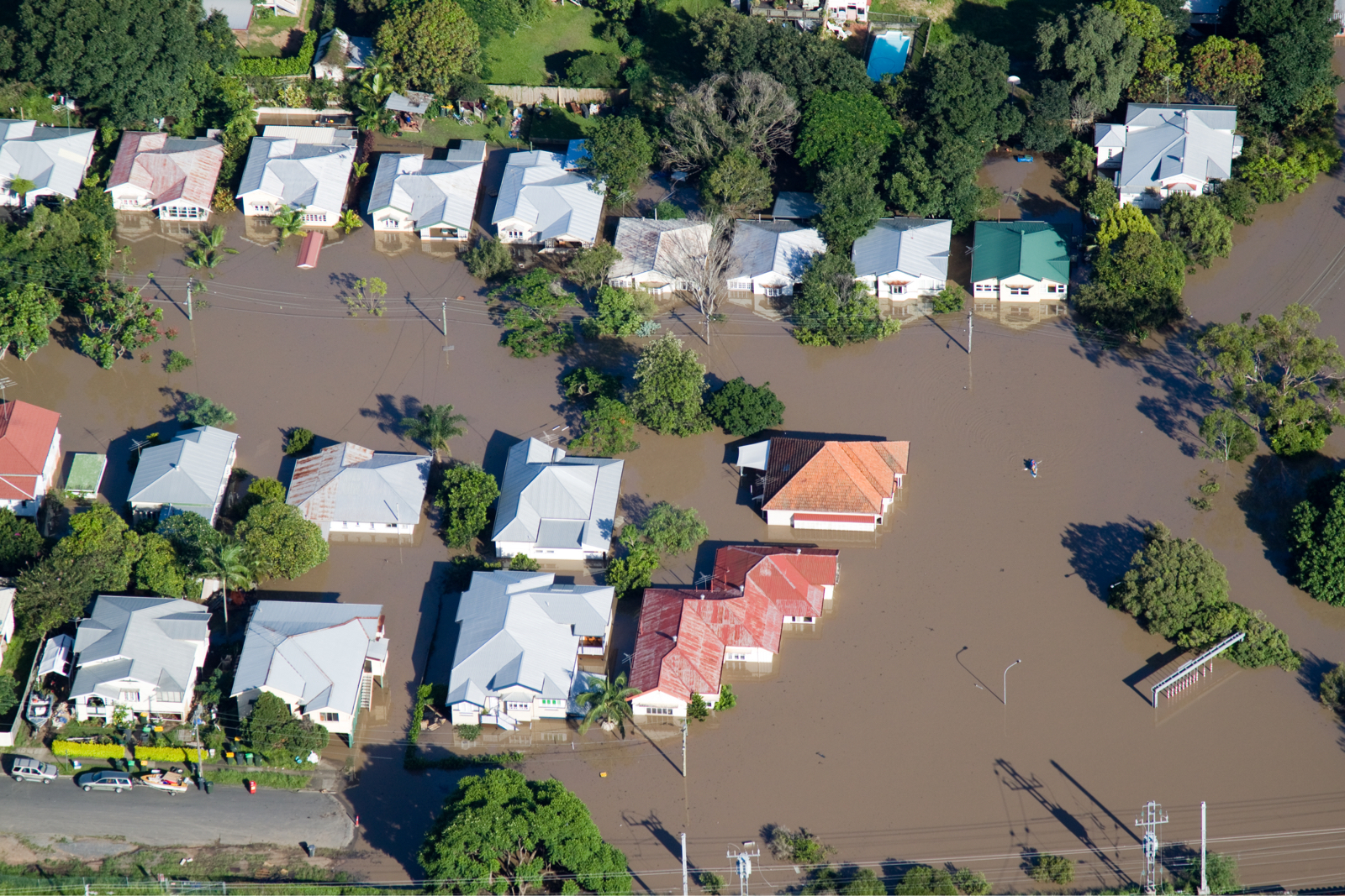
SFINCS was used to forecast flooding due to surge and rain during Hurricane Ian (2022) on the USA East Coast and in the Gulf of Mexico, as well as in combination with river flooding in Australia, where we have shown that the software is fast enough to compute flooding in the forecast time for large areas of continents. We recently used SFINCS for the large floods in Pakistan to identify where flood levels would fall first and inform decision-makers who had to organise the relocation of evacuees.
Estimating flood damage and disruption
Predictions of flood depths and extents serve as input to compute damage with Delft-FIAT and road disruption with RA2CE – both of which are Deltares software – in Beira, Mozambique and St. Maarten, in the Caribbean. This makes it possible to identify potential evacuation routes and destinations before the event happens, but also to establish an overview of how to reach people who are isolated in the response phase after the event.

'The coastline in Denmark is very complex and we therefore need reliable models like SFINCS, which can model the entire country in a very, very short time. I very much appreciate the partnership with Deltares because, by learning from the best of their models, we can be at our best and improve our results.'
Karl-Søren Geertsen, Danish Coastal Authority
Co-creating with our partners
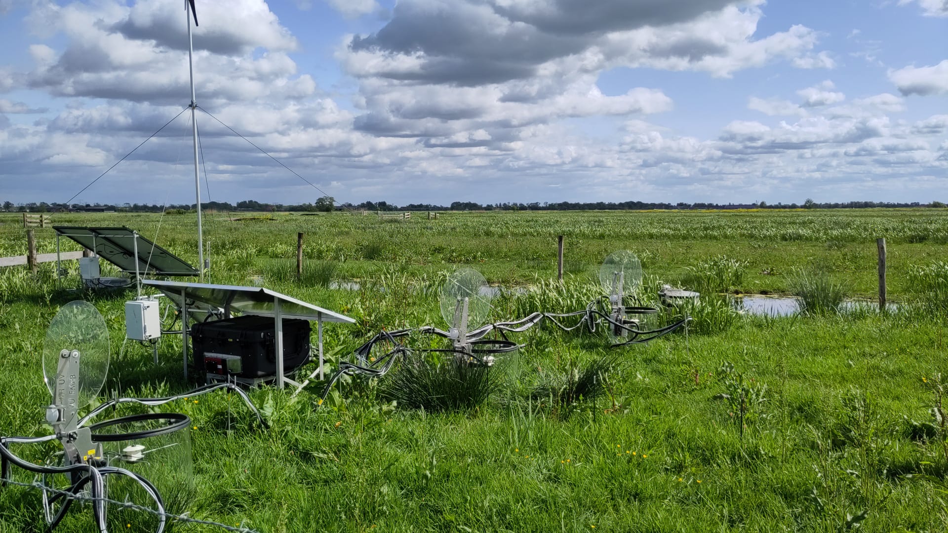
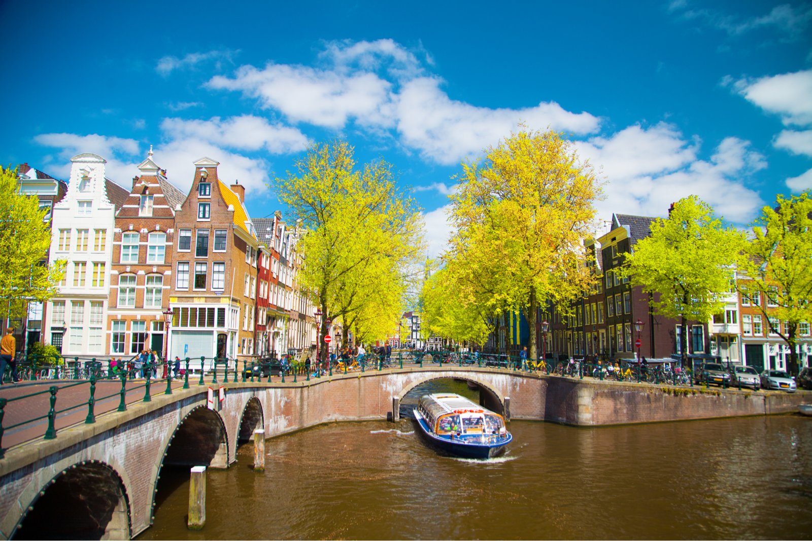
Deltares worked closely with the Danish Coastal Authority on applying SFINCS to assess the susceptibility to flooding of all Danish coastal cities in order to meet the objectives of the European Flood Directive. The coastline in Denmark is very complex because of the large number of small islands, shallow fjords and narrow straits. Fast and reliable models are needed to model the entire country in a very short time. Our software was used by our partner to estimate the extent of flooding for several magnitudes of events, after which flood maps were used to inform local authorities where to take action to reduce flood hazards.
Impact leads to further innovations
Launching the SFINCS model to a worldwide audience has demonstrated the need for fast and reliable flood forecasts and assessments. This global interest has resulted in numerous new applications, and questions from clients have in turn inspired our research and development efforts. Working together allows us to make better and more useful flood and impact modelling systems.
We help government agencies, engineers and scientists to apply easy-to-learn software, which is available open-source and free of charge, for flood predictions and analyses. This work is helping to achieve the goals in the Dutch national mission F2, contributes to SDG’s 11 and 13 and the Sendai Framework for Action. In online seminars, during face-to-face training and in dedicated projects, we also advise on how to best use input data and meteorological forcings.

Tim Leijnse


Ap van Dongeren


Sustainable development goals
Sustainable cities and communities

Dutch national missions (MMIP)
Adapting to extreme weather